NavList:
A Community Devoted to the Preservation and Practice of Celestial Navigation and Other Methods of Traditional Wayfinding
Re: A question for the geodisists
From: Gary LaPook
Date: 2013 Dec 17, 23:47 -0800
From: Gary LaPook
Date: 2013 Dec 17, 23:47 -0800
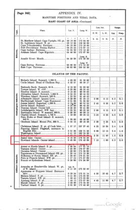
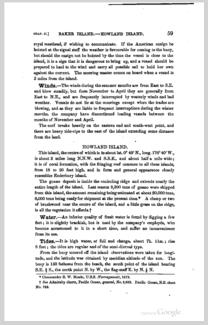
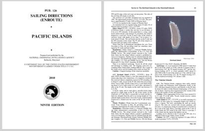
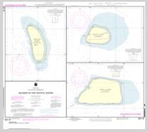
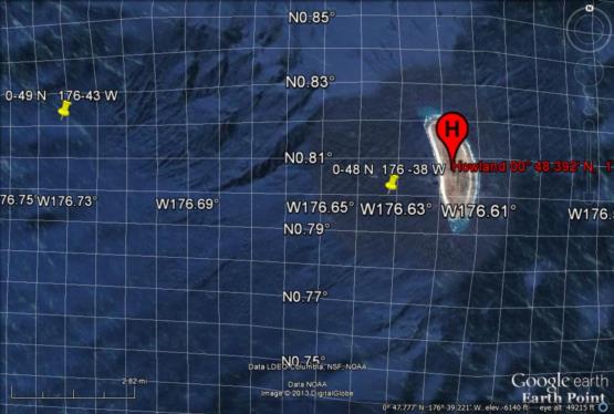
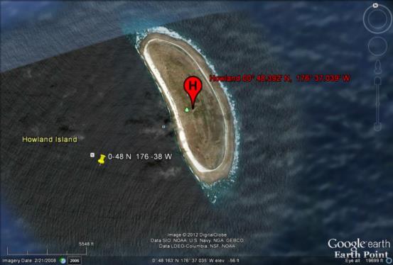
The 1920 Bowditch and the 1885 Sailing Directions state clearly that those coordinates are for the center of the island. The longitude given for the center of the island as 176° 43' 09" west in 1920 and 176° 40' west in 1885. Look at the google earth image I attached. The longitude grid shows the center of the island to be exactly centered between 176.61° west and 176.62° west, call it 176.615° west. .615° times 60 minutes per degree converts to 36.9', call it 37'. This image also shows the 1920 coordinates of 0° 49' north, 176° 43' west and also the 1938 through 2010 coordinates of 0° 48' north, 176° 38' west, both points well to the west of the western shore of the island. And the modern chart shows the center to be at 0° 48' north, 176° 37' west using the WGS 84 horizontal datum. If you search for "Howland
island" in Google Earth it takes you to the island and places an icon in the center of the island and labels it as "0° 48.392' N, 176° 37.039' W."
So I still don't have an answer to my question. If I accurately determined the center of the island with celestial navigation what would the longitude be?
gl
From: Brad Morris <bradley.r.morris@gmail.com>
To: garylapook@pacbell.net
Sent: Tuesday, December 17, 2013 10:08 PM
Subject: [NavList] Re: A question for the geodisists
Hi Gary
I encountered the same plethora of coordinates when trying to determine the location of Cape Belsham, on Elephant Island.
I'm sure you thought of this but what the heck, here goes:
I looked on satellite views of Howland Island. Its one mile wide by two miles long. Do all the coordinates you mentioned reference one unique point on the island, or do the coordinates just have to be somewhere on the island? Is it a datum on the island that's referenced? Or just the island?
A 1 arc minute shift could mean east coast vs west coast. Because, in general, once you are that close, you switch to coastal piloting.
Brad
