Welcome to the NavList Message Boards.

NavList:

A Community Devoted to the Preservation and Practice of Celestial Navigation and Other Methods of Traditional Wayfinding

Compose Your Message

Message:αβγ
Message:abc
Add Images & Files
    or...
       
    Reply
    Re: Timing Upper Limb Sunset by Camera
    From: Greg Rudzinski
    Date: 2015 Apr 7, 16:13 -0700

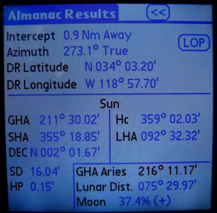
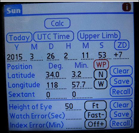
    Second try at sending chart and smart phone data for upper limb sunset.

    From: Greg Rudzinski
    Date: 2015 Apr 7, 15:25 -0700

    Bill,

    Here are images of my smart phone data, chart, and Flash Earth. The bus was traveling WNW on PCH between Tonga St. and Neptune's Net. The blue tank seen below the minus sign on the Flash Earth image is the tank as marked on the nautical chart.

    Greg Rudzinski


    Attached File: 
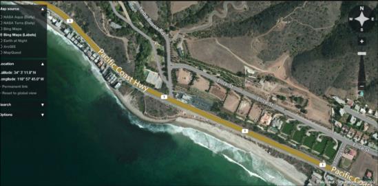
    (Neptunes-Net-Lat-Lon.PNG: Open and save)

    File:


    File:


    Reply
    Browse Files

    Drop Files

    NavList

    What is NavList?

    Join NavList

    Name:
    (please, no nicknames or handles)
    Email:
    Do you want to receive all group messages by email?
    Yes No

    You can also join by posting. Your first on-topic post automatically makes you a member.

    Posting Code

    Enter the email address associated with your NavList messages. Your posting code will be emailed to you immediately.
    Email:

    Email Settings

    Posting Code:

    Custom Index

    Subject:
    Author:
    Start date: (yyyymm dd)
    End date: (yyyymm dd)

    Visit this site
    Visit this site
    Visit this site
    Visit this site
    Visit this site
    Visit this site