
NavList:
A Community Devoted to the Preservation and Practice of Celestial Navigation and Other Methods of Traditional Wayfinding

Re: Chart scales
From: Hewitt Schlereth
Date: 2011 Nov 4, 18:57 -0400


From: Hewitt Schlereth
Date: 2011 Nov 4, 18:57 -0400
I looked for the 960s two years ago and could no find a source. They sure would be useful as a step for students between plotting on a chart and setting up a VPOS.
Hewitt
Sent from my iPad
Sent from my iPad
Wow, Greg, what a great find! Thank you and all the rest who responded to my question. Peter Hakel
From: Greg Rudzinski <gregrudzinski@yahoo.com>
To: NavList@fer3.com
Sent: Friday, November 4, 2011 12:52 PM
Subject: [NavList] Re: Chart scales
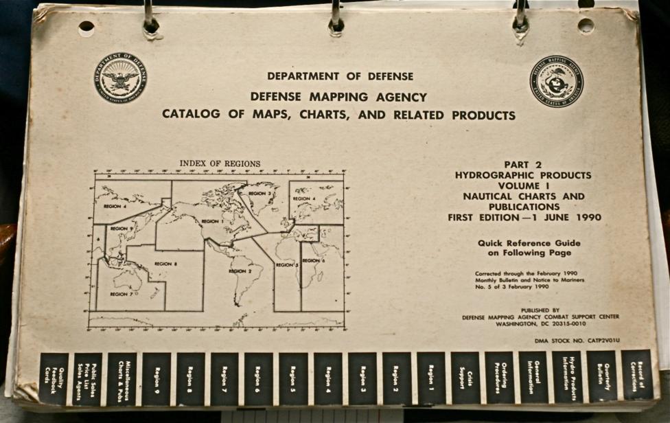
Peter,I found some interesting info for you in an old Defense Mapping Catalog. Position Plotting Sheets are printed with the longitude spaced at 4 inches per degree. The scales vary between 1/500,000 and 1/,000,000. There are two sizes- 35 inches by 46 inches and 17 inches by 22 inches. See attachment.Greg Rudzinski
----------------------------------------------------------------
NavList message boards and member settings: www.fer3.com/NavList
Members may optionally receive posts by email.
To cancel email delivery, send a message to NoMail[at]fer3.com
----------------------------------------------------------------
Linked File: https://www.NavList.net/imgx/IMG_2975.JPG


